AI иллюстрации
Войти
AI иллюстрации
Science
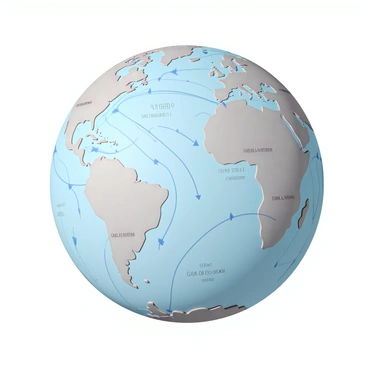
Coriolis effect
Coriolis effect
В сообществе ничего не найдено
Ваша генерация